The Glance
Friday, April 17, 2026Avalanche
Moderate. Wind slab all aspects ALP+TL (Likely, Size 1-2.5). (ALP+TL: Moderate / BTL: Low)
Travel Advice
- Be especially cautious as you transition into wind-affected terrain.
- Pay attention to isolated wind affected features in the alpine, as well as cross-loaded features at treeline.
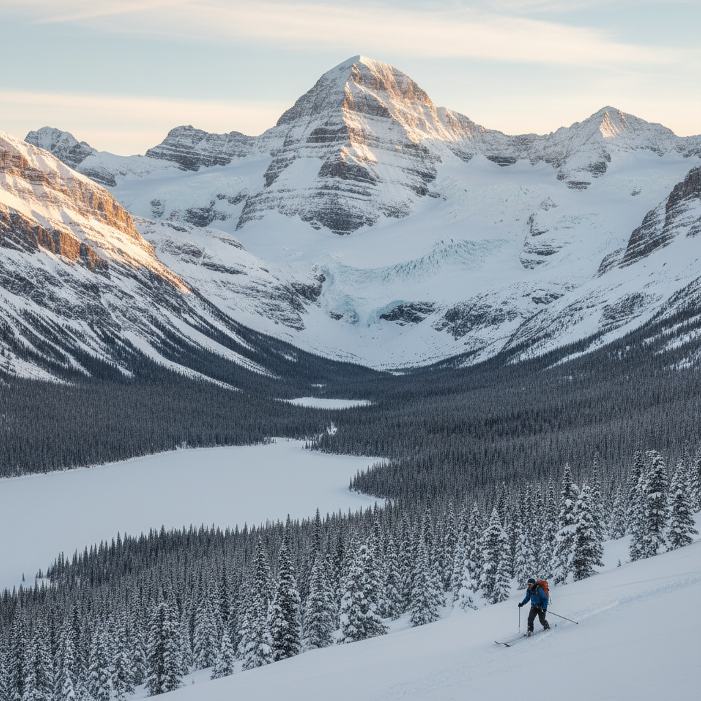
Variable amounts of storm snow in the past 48 hours. As of this afternoon treeline polar aspects had 40cm, while treeline solar aspects had 20cm settled snow. Overall valley bottom has 10cm of settled, moist snow by 3pm today. North winds today managed to reverse load some ridgeline areas, but nothing crazy. Immediate lees had small fresh windslabs with minor cracking.
Only minor loosed dry avalanches were seen today. These sorted themselves out and stopped by midday.
Snow
8cm new snow (Aster Lake 2350m)
| Source | Elev | 24h | 48h | 72h | Base |
|---|---|---|---|---|---|
| Aster Lake | 2350m | 8 | 29 | 32 | 256.2 |
| Burstall Pass | 2300m | 6 | 17 | 37 | 247.1 |
| Highwood Pass | 2250m | 2 | 12 | 30 | 179.3 |
| Sunshine | 2200m | 1 | 21 | 30 | 211 |
| Mud Lake | 1900m | — | 12 | 30 | 154.5 |
| East End of Rundle | 1700m | 4 | 6 | 18 | 16.9 |
Measured: 4/17/2026, 6:00:00 AM
Source: AvCan Weather Stations
Weather
| Station | Elev | Temp | Wind | 24h Snow |
|---|---|---|---|---|
| Lookout | 2640m | -12.9°C | NW 11 km/h | — |
| Aster Lake | 2350m | -9.4°C | SE 2 km/h | 8 |
| Burstall Pass | 2300m | -10.7°C | S 2 km/h | 6 |
| Highwood Pass | 2250m | -9.5°C | N 0 km/h | 2 |
| Sunshine | 2200m | -10.1°C | — | 1 |
| Mud Lake | 1900m | -9.8°C | E 0 km/h | — |
| East End of Rundle | 1700m | -6.8°C | NW 1 km/h | 4 |
Roads
⛔ Hwy 40 (Kananaskis Trail): CLOSED | Smith-Dorrien / Spray Lakes Rd: Open
Hwy 40 (Kananaskis Trail): Seasonal Road Closure on HWY-40 Both Directions near Range Road 9. All lanes closed. Activities: Road Closed, Use alternate route
Webcams
| Station | Elev | Temp | Wind | Snow 24h |
|---|---|---|---|---|
| Lookout | 2640m | -12.9°C | NW 11km/h | — |
| Aster Lake | 2350m | -9.4°C | SE 2km/h | 8cm |
| Burstall Pass | 2300m | -10.7°C | S 2km/h | 6cm |
| Highwood Pass | 2250m | -9.5°C | N 0km/h | 2cm |
| Sunshine | 2200m | -10.1°C | — | 1cm |
| Mud Lake | 1900m | -9.8°C | E 0km/h | — |
| East End of Rundle | 1700m | -6.8°C | NW 1km/h | 4cm |
More in Central Rockies
7 zones