The Glance
Snow 24h
1
cm
Forecast Temp
+2 / -9
°C Hi / Lo
Wind
0
km/h E
Freezing level (model)
1280
m
❄Model freezing level: 1280 m (Open-Meteo).
Yesterday: 8.19cm
Avalanche
Early Season
Snow
1cm new snow (Cayoosh Summit 1250m)
| Source | Elev | 24h | 48h | 72h | Base |
|---|---|---|---|---|---|
| Cayoosh Summit | 1250m | 1 | 1 | 3 | 0 |
Measured: 11/17/2026, 6:00:00 AM
Source: AvCan Weather Stations
Weather
Today
+2° / -9°CMainly clearFZL 1280 m (model)
Observed WindE 0 km/hCayoosh Summit1250m
Outlook
Tomorrow
Overcast
Temp0° / -5°C
Day After
Overcast
Temp0° / -7°C
Station Observations
| Station | Elev | Temp | Wind | 24h Snow |
|---|---|---|---|---|
| Cayoosh Summit | 1250m | -3.6°C | E 0 km/h | 1 |
Roads
Checking road status
Webcams
Weather Stations
| Station | Elev | Temp | Wind | Snow 24h |
|---|---|---|---|---|
| Cayoosh Summit | 1250m | -3.6°C | E 0km/h | 1cm |
More in Sea-to-Sky
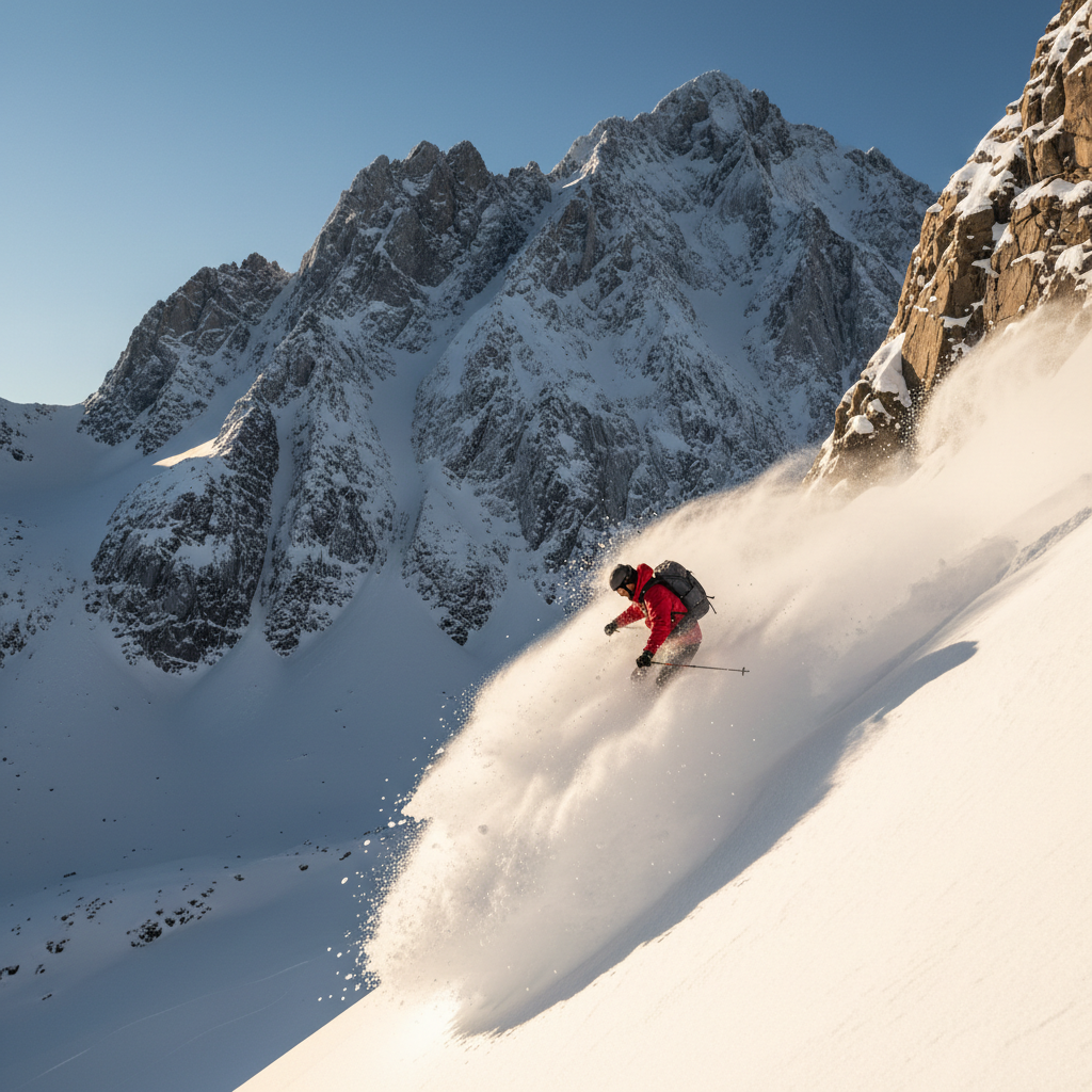
Pemberton / Hurley
Not graded
Danger rating: Early Season
Early Season→Blowdown Mid
+2° / -11°C11 km/hFZL 1240mClear sky
Top 2700m
View Briefing →Squamish / Tantalus Range
Not graded
Danger rating: Early Season
Early Season→Weather model (Open-Meteo)
+2° / -12°CFZL 1260mClear sky
Top 2603m
View Briefing →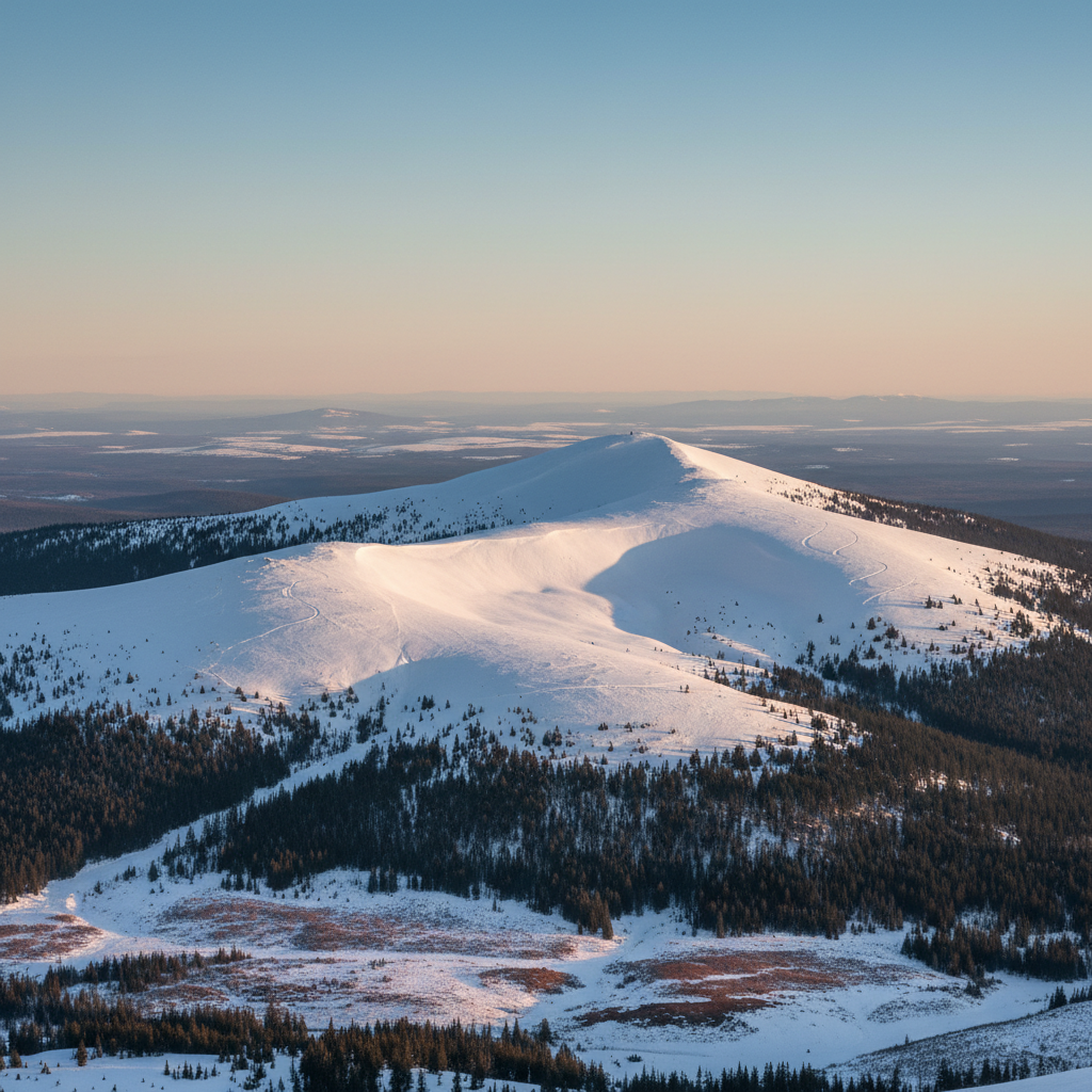 Okanagan
Shuswap / Eagle Pass
Not graded
Danger rating: Early Season
Early Season→Blowdown Mid
-1° / -10°CFZL 1230mClear sky
Top 2200m
View Briefing →