The Glance
Thursday, April 02, 2026Avalanche
Low. Wind slab SE/N/NE/E/NW ALP (Possible Unlikely, Size 1-1.5).
Travel Advice
- Pay attention to isolated wind affected features in the alpine, as well as cross-loaded features at treeline.
- Small avalanches can have serious consequences in extreme terrain. Carefully evaluate your line for slabs before you commit to it.
- Closely monitor how the new snow is bonding to the crust.
We have a good understanding of the snowpack structure and confidence in the weather forecast.
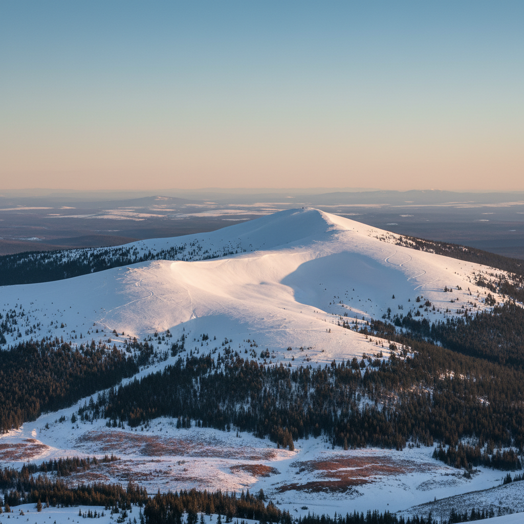
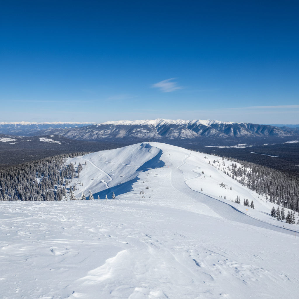
Shaded slopes likely hold low-density powder, while southerly aspects likely have a sun crust. Wind slabs may be found in the lee of terrain features.Convective flurries and wind over the past two weeks have created highly variable snow above the atmospheric river crust. Some areas are scoured down to the crust, while others have 20 to 40 cm of snow above the crust.Beneath the crust, the snowpack is strong and well bonded.
A few small wind slabs (size 1) were triggered Monday on south and southeast aspects. Several small dry and wet loose avalanches were triggered in steep terrain on Monday and Tuesday.
Snow
9cm overnight (Big White Summit 2319m)
| Source | Elev | 24h | 48h | 72h | Base |
|---|---|---|---|---|---|
| Big White Summit | 2319m | 9 | — | — | 180 |
| McCulloch | 1200m | — | 3 | 6 | 0 |
| McCulloch | 1200m | 1 | — | — | 8 |
Measured: 4/2/2026, 6:32:00 AM
Source: Big White Summit + BC ASWS
Weather
| Station | Elev | Temp | Wind | 24h Snow |
|---|---|---|---|---|
| McCulloch | 1200m | +0.3°C | NE 0 km/h | — |
Roads
Hwy 97C: Open | Hwy 33: Open
Webcams
| Station | Elev | Temp | Wind | Snow 24h |
|---|---|---|---|---|
| McCulloch | 1200m | 0.3°C | NE 0km/h | — |